Saturday, 14 March 2015

Exhibitions Fairs & Festivals

Almost every weekend there is a festival, a fair or an exhibition of some kind going on in the region.  The last three Saturdays have been spent enjoying the cultural landscape of New Zealand and the islands.

Pasifika is an annual festival where 'islanders' come to Auckland to exhibit and sell their wares in a large park south of Auckland.  Almost every island is represented, even Hawaii, demonstrating the best of what the Polynesian and Melanesian cultures have to offer.  The intoxicating aroma of food to appeal to most any palate, colourful costumes and traditional dances all exhibited in a park setting make for an amalgamation of the diverse flavor of the South Pacific.

Fruit and fish are staples of an islander's diet and they don't skimp on the portions. Seeing half a watermelon with large scoops of ice cream on
top was not an uncommon site.  Raw fish seemed to be on the menu in many of the booths as well.  Coconut drinks straight from the shell and assorted fruits from which they made milkshakes and smoothies and some were even on skewers.


The dances and and music had to be the highlight. Large bandstands were set up through out the site and each island engaged in their own form of music and dance.  All were colourful and engaging.  The costumes added to the pageantry
 and it appeared as though the particular costumes matched the timbre, rhythm and beat of the music

They were consummate entertainers smiling or frowning according to the cadence and flow of the music. Even small children participated matching the more seasoned dancers with every move.  I found my self fixating on  particular dancers entranced by the obvious immersion they had in the experience.  Their dances bespeak a deep bond with their respective cultural heritages.

The day was warm and sunny, most certainly a climatic condition  they were accustomed to. Probably eighty percent of attendees could claim polyanesian, melanesian or mircronesian ancestry judgeing by the characteristic features. They are an attractive people, large in stature with pleasant  demeanor and  relaxed presentation.
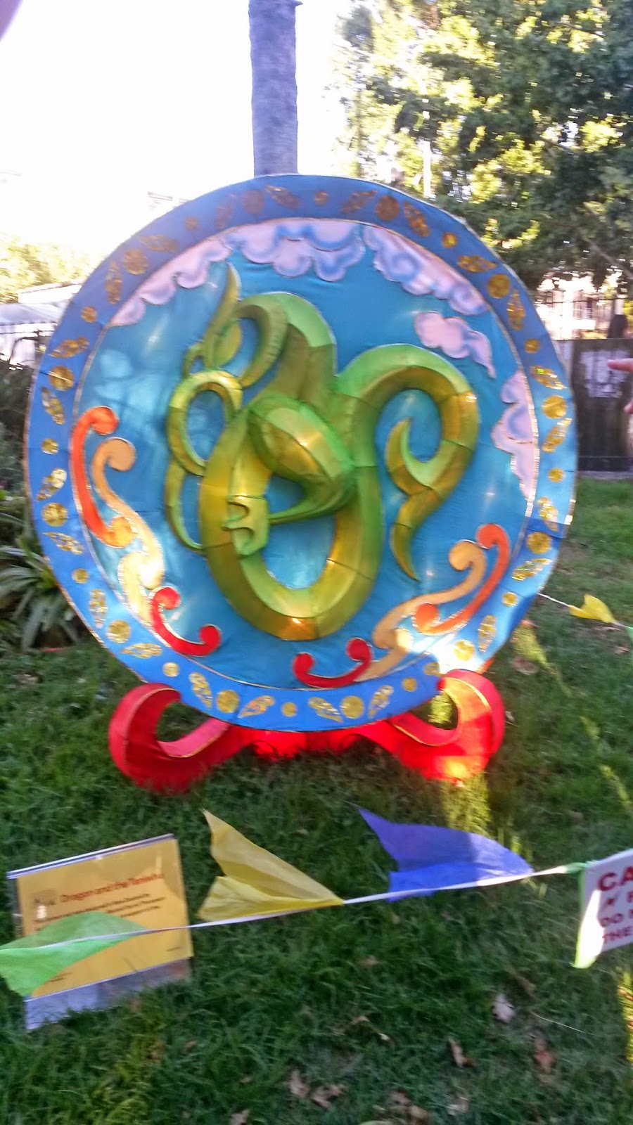


On another weekend we went  to a Chinese Lantern Festival.  This too was in a park setting and attended by throngs of people, most of south east Asian extraction.  Here again the food represented a cross section of every variety of Asian food imaginable.  We saw people eating squid on a stick with or without tentacles.  We indulged in pork balls which were essentially steamed dough with spicy pork inside. We tried a couple other treats which were new to me not being not overly adventurous when it comes to novel culinary experiments.

Thousands attended this festival with the lanterns intricately glued or sewn together then painted.  The variety of forms, shapes and sizes not only bespoke the time and effort to make but the creative imagination of the fabricator. There were perhaps a hundred or more exhibits.
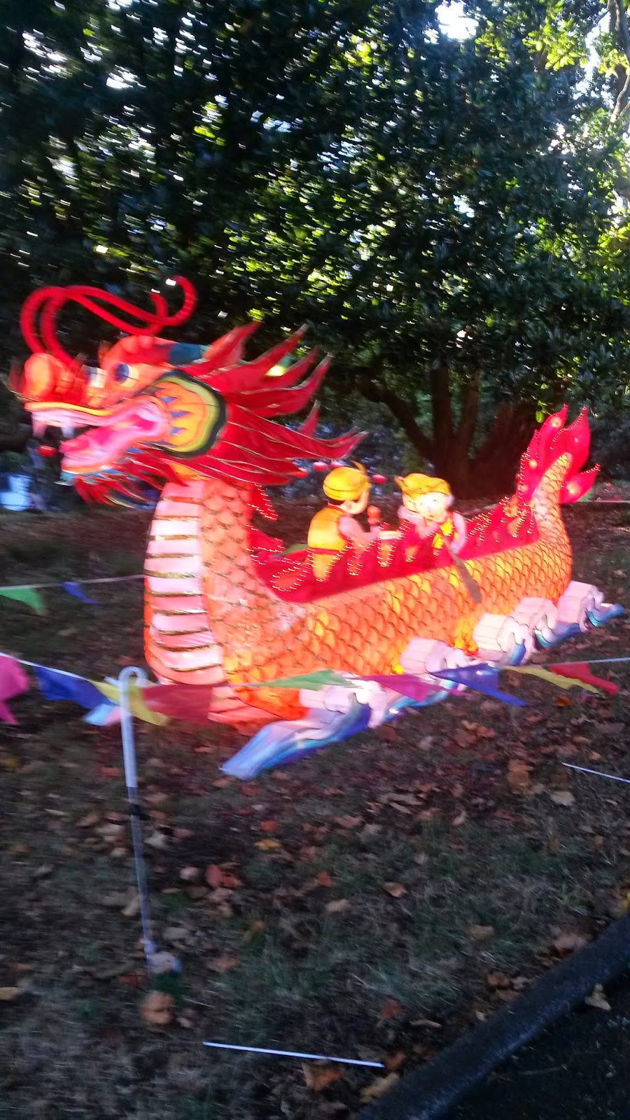
We got there before the crowds arrived and we were glad we did.  It would have been difficult just to move from exhibit to exhibit given the throngs of people.  Of course it is at night when the lanterns take on the their intended purpose. LED lights radiate from the inside and
the true colour is appreciated.  We stayed until dark and decided to escape the hordes.

When planning a trip to New Zealand it is a good idea to align the schedule with one or more of these festivals or fares.  We enjoyed them both as they represent just part of the rich cultural heritage of this country.

I went myself to an agricultural fair a couple hours north of Auckland.
I did not include pictures here as i forgot my camera in the car.  It was to my liking for the old tractors, logging practices and the exhibits providing a feel for another aspect of New Zealand.  Of course there were tractor pulls, sheep shearing, dog trials and a number of vendors appealing to the agricultural community.

Dairy farming is slowly taking over from sheep as the mainstay of the agricultural economy.


Saturday, 14 February 2015

Piha Beach

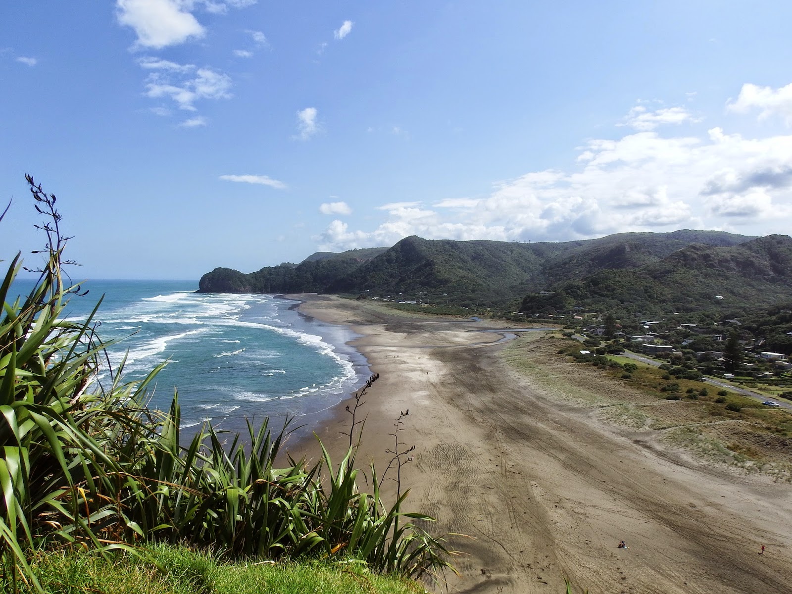
First photo of the black sands of Piha Beach only 40 kilometres from Auckland on the Tasman Sea.  On a hot day you can't walk on these sands without footwear.

The surf coming through the cleft appeared to be at a higher level than we were.

The surf was impressive! Understandable why this is NZ premier surfing beach and home to national and international surfing competitions.

This photo was taken from over 100 meters away using the telephoto

I climbed Lion rock.The white spots are people on the beach.
This is looking south from Lion's rock.  We walked to the beach head in the distance. We got our exercise for the day.

This is what 6 hundred millions years of erosion will do.

The black volcanic sand mixed with lighter coloured  sand made sculpted patterns in a stream bed.

February 14th Valentines Day.  Elder Mike Wilkins chose to celebrate it with his own sand art.   Much appreciated by Diane!

We were here in the forenoon, with very few people present.  A most pleasant way to spend a Saturday morning.

Saturday, 7 February 2015

Rangitito

Another Saturday excursion was planned to Rangitoto.  We went with two Area Office couples. I had been looking forward to this trip as it involved hiking and a glimpse at the geology of the area formed in the recent past.

From Devonport Ferry terminal, we took one of several daily ferries to the island. It then took us a little over an hour to hike to the top of the volcano. The first three pictures are of the island and our arrival.  Our pace was set to accommodate our fitness levels. Nevertheless, our seemingly methodical pace was not far off the majority of the trekkers.
Rangitoto was formed by a series of eruptions between 550 and 600 years ago. The eruptions occurred in two episodes, 10–50 yrs apart, and are thought to have lasted for several years during the later shield-forming episode. The first episode erupted most of the volcanic ash that mantles Motutapu Island next door, and produced the lower, northern cone. The second episode built most of Rangitoto, erupting all the lava flows and main scoria cone at the apex. The 2.3 cubic kilometres of material that erupted from the volcano was about equal to the combined mass-produced by all the previous eruptions in the Auckland volcanic field, which were spread over more than 250,000 years.
In 2013, scientists said new studies showed Rangitoto had been much more active in the past than previously thought, suggesting it had been active on and off for around 1000 years before the final eruptions around 550 years ago. Civil Defence officials said the discovery didn't make living in Auckland any more dangerous, but did change their view of how an evacuation might proceed.
The volcano is not expected to become active again, although future eruptions are likely within the volcanic field. Subsidence back down the throat during the cooling process has left a moat-like ring around the crater summit, which may be viewed from a path which goes right round the rim and up to the highest point.


The island was purchased for ₤15 by the Crown in 1854, a very early date in New Zealand's colonization by Europeans, and for many years served as a source of basalt for the local construction industry. It was set aside as a Recreation Reserve in 1890, and became a favourite spot for day trippers. Some development occurred nonetheless. In 1892, salt works were created on 5 acres (20,000 m2) near Mackenzies Bay. The wharf and summit road were opened in 1897, with another road linking the summit to Islington Bay by 1900. For over 30 years (from 1898 to 930), scoria was quarried from near the shoreline on the west side of Islington Bay as building material for Auckland. From 1925 to 1936, prison labour built roads on the island and a track to the summit. 

Islington Bay was formed in the South East area of the island. Formerly known as Drunks Bay, it was used as a drying out area for inebriated crews before they ventured out of the gulf. The bay is very popular with Auckland 'boaties' as a refuge, as it is quite sheltered from the prevailing south west winds. In summer it is not unusual to find 30 boats anchored overnight.  
A number of Māori myths exist surrounding the island, including that of a 'tupua' couple, children of the Fire Gods. After quarreling and cursing Mahuika, the fire-goddess, they lost their home on the mainland because it was destroyed by Mataoho, god of earthquakes and eruptions, on Mahuika's behalf. Lake Pupuke (see earlier blog) on the North Shore was created in the destruction, while Rangitoto rose from the sea. The mists surrounding Rangitoto at certain times are considered the tears of the tupua.
Military installations were built during World War II to support the Auckland harbour defences and to house U.S.. troops or to store mines. The most visited remains of these installations is the old observation post on the summit. Not much remains of this, but serves as a great vantage point of the surrounding area.  The northern shore of the island was used as a wrecking ground for unwanted ships, and the several wrecks are still visible at low tide.
Baches (small holiday houses) were built around the island's edge in the 1920s and 1930s. We walked along the beach trail and observed a number of them.  The legality of their existence was doubtful from the start and the building of further baches was banned in 1937. Most have since been removed because of the ban and because the island has become a scenic reserve. However some 30 of the 140 baches remain as of 2010, and some are being preserved to show how the island used to be, once boasting a permanent community of several hundred people, including a good number of children. The buildings included some more permanent structures, like a seawater pool, built of quarried stones by convict labour, located close to the current ferry quay.
I am making better use of the camera I acquired before the mission.  The picture to the right is at full magnification and is take of an office or apartment complex near where we live in Takapuna, proabably twenty kilometres away,as the crow flies.

In some parts of the island, fields of lightweight, clinker-like black lava stones called scoria are still exposed, appearing very recent to a casual eye. About 200 metres from the top of the mountain, on the eastern side, we walked to and then through one of seven known lava tubes — tubes left behind after the passage of liquid lava. The more accessible of the caves are signposted. Lava tubes are formed when low-viscosity molten lava known as pahoehoe flows and cools on the outside due to contact with the ground and air, to form a hard crust allowing the still-liquid molten lava to continue to flow through inside. 

At Rangitoto, the large tubes are cave-like. A flashlight made entry into the caves a possibility. The longest known cave is about 50 m long.
There are virtually no streams on the island so plants rely on rainfall for moisture. It has the largest forest of pōhutukawa trees in the world, as well as many northern rātā trees. In total, more than 200 species of trees and flowers thrive on the island, including several species of orchid, as well as more than 40 types of fern
The island is considered especially significant because all stages of succession from raw lava fields to abundant flora is taking root. As lava fields contain no soil of the typical kind, windblown matter and slow breaking-down of the native flora are still in the process of transforming the island into a more habitable area for most plants (an example of primary succession). This is one of the reasons why the local forests are relatively young and do not yet support a large bird population. However, the kākā, a New Zealand-endemic parat, is thought to have lived on the island in pre-European times.

Goats were present on Rangitoto in large numbers in the mid 19th century, but were eradicated in the 1880s. Fallow deer were introduced to Motutapu in 1862 and spread to Rangitoto, but disappeared by the 1980s. The brush-tailed rock-wallaby was introduced to Motutapu in 1873, and was common on Rangitoto by 1912, and the brushtail possum was introduced in 1931 and again in 1946. Both were eradicated in a campaign from 1990 to 1996. We saw some traps along the way, clearly designed to trap small rodents without harming them.


Saturday, 31 January 2015

Waitakere Range and Arataki Visitors Centre

 The Waitakarere  Rain Forest is a cross between original old growth forest and regenerated new growth.  Early logging of the Kauri Forest in the 1800's left much of the east slope of the range barren.  Farmers later came in but found the soil unsuitable for sustained yields. Almost a century later, a road was developed named Exhibition Drive. It was later added to and improved and is now known as Scenic Drive.  We traveled this snake-like back road until we came to the Arataki Visitors Centre.. This site provided a prominent view of the valley and the Waitakere Range.

We spent close to an hour here just taking in the panoramic view, watching a video presentation and walking
through the centre admiring the displays.

This area is best experienced on foot as numerous trails are laid out to best appreciate a true rain forest and its resplendent flora. This is a place for me to come back to and take more time to enjoy.  It is just on the outskirts of Aukland and is an incredible resource so close to an urban environment.

I was asked what I appreciated most about New Zealand and my immediate response was the greenery. The variety is a constant visual feast. Unfortunately, what is so common may become commonplace. It appears to be so for the majority of the locals.

Below are pictures of nearby beaches with the characteristic black sand. This rugged coast line also claims to have some of the best surfing beaches in the world.  Some world championships occur in and around here.


This plant we saw at the Centre is said to be  the lightest wood on earth. It is lighter than balsa but not near the strength.
We also visited a Palestinian Christian  who plies a trade as a wood carver. He has a shop right next to his house and he gave a lesson on the types of wood he uses. I picked up one block of wood that could easily rank right up there with the heaviest wood.  Both extremes in one day! He chooses from deep rich red wood to chestnut brown and everything in between. Beautiful pieces by any measure!

Saturday, 17 January 2015

Coromandel Peninsula


The Coromandel is a prominent peninsula  on the east side of the North Island of New Zealand.   In addition to some spectacular beaches, part of it is described as the Seabird Coast, attracting birders and capturing a broad cross section of other interests from gold mining relics, marine ecosystems and the hippy lifestyle to the art scene evident in the colorful town markets.  


One day is not enough to even begin to explore the possibilities here.  This entry will focus on  a couple of landmarks  and interesting beaches.  I will include another entry later in the blog to capture the northern part of the peninsula. 

The foreshore along the Firth of Thames is is one the premier seabird watching site in the South Pacific as over 40 migratory wading bird species nest here.  Shell banks offer ideal nesting grounds for migrating birds from as far away as the Arctic circle 10,000 km. to the north. They come at different times of the year from other parts of New Zealand as well. The godwit is particularly noted for its long flights. One specific female of the flock, nicknamed "E7" flew from China to Alaska and stayed there for the breeding season. Then on 29th of August 2007, she departed on a non-stop flight from the Avinof Peninsula in western Alaska to the Piako River near Thames New Zealand, setting a new known flight record of 11,680 km. (7,258 mi).

Twice a day, as the tide rises, the birds move inland to the easily-viewed shell banks. As the tide recedes they move out again to the vast Firth of Thames. Boardwalks are provided and the encrusted shoreline provides  a good vantage point for watching. The Miranda Shorebird Centre offers interpretive information and displays as well as simple accommodation for ardent birdwatchers.  Up to a purported 20,000 seabirds and waders can be observed during peak periods along the beach at spotting posts on the Seabird Coast.

Cathedral Cove is named after the cave located there. (see picture) . The area is very popular with tourists, and receives around 150,000 visitors per year.  We were not able to find a parking spot, so had to rush out of the car while one of us drove the vehicle around to get some pictures.  Come early if you want to take more time.


This is a Marine Reserve so marine life is plentiful.   In Gemstone Bay there is a snorkel trail marked by the Department of Conservation. Both bays are also accessible by paths leading down from the main walking path to Cathedral Cove. This picturesque site is referred to in Maori as Whanganui-A Hei (the Great Bay of Hei) and was chosen by a tribal leader as home for his tribe. 


Hot Water Beach is as its name implies. Hot pools can be dug out of the sand at low tide near the rocks and in places where steam can be seen rising from the open sea at high tide. We did not have the time to test it out, but others were digging away to enjoy a warm or even hot bath, depending on how much energy you are willing to expend. The area is no longer volcanically active —the hot mineral pools are a legacy of New Zealand's geothermal past.
The last picture is a war memorial at a lookout of the town Thames the gateway to Coramandel.

. 

Saturday, 3 January 2015

Falls, Forest, Ferns and Flora


Two conspicuous features of New Zealand is waterfalls and flora. Though perhaps an odd connection, each is impressive in their own right due to the variety and visual display each offers.  We visited Haunu Falls which immediately reminded me of Greer Creek Falls near Vanderhoof, British Columbia.  The small plunge pools were about the same size but I was accompanied by two cute granddaughters at Greer Creek.  New Zealand has waterfalls in abundance given the suitable topography and plentiful rainfall.  A fault line depression probably created this one as there is very little erosion of the top rock face.

We walked in what I would describe as a fern forest to get to the falls.It made me think we were in the Jurassic period. A canopy of stately ferns overshadowed us like big umbrellas.

The parking lot was crowded with holiday visitors.  New Zealanders take their extended vacations from before Christmas to well into February. It was a warm, pleasant day with sufficient cloud cover to spare us from the summer sun.


The rest of the day was spent
visiting the Auckland Botanic
Garden - 156 acres in size
which includes 10 hectares of
native forest.

This garden captures the unique
South Pacific flavor. Surprisingly,
it was free; the grounds were well
maintained with paved footpaths
and well appointed signage.  The
garden is designed to showcase the
seasonal variations of flowering
plant life.

The very first observation upon
arrival in Auckland was how
green and the diversity of the
flora. The garden provided a
good cross section of the gardening
 options open to the locals.